
Metaxochori
(Μεταξοχώρι Αγιάς)
and the south slopes of Mount Ossa...
Note: part of this article with its pictures published in Greek at travelestate.gr site. To read the artcile press here.
Metaxochori (red dot), Agia, Larissa and the coast on the map.
, Agia, Larissa and the coast on the map.")
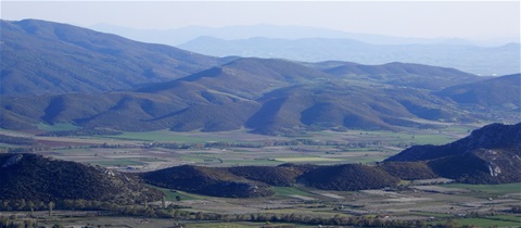
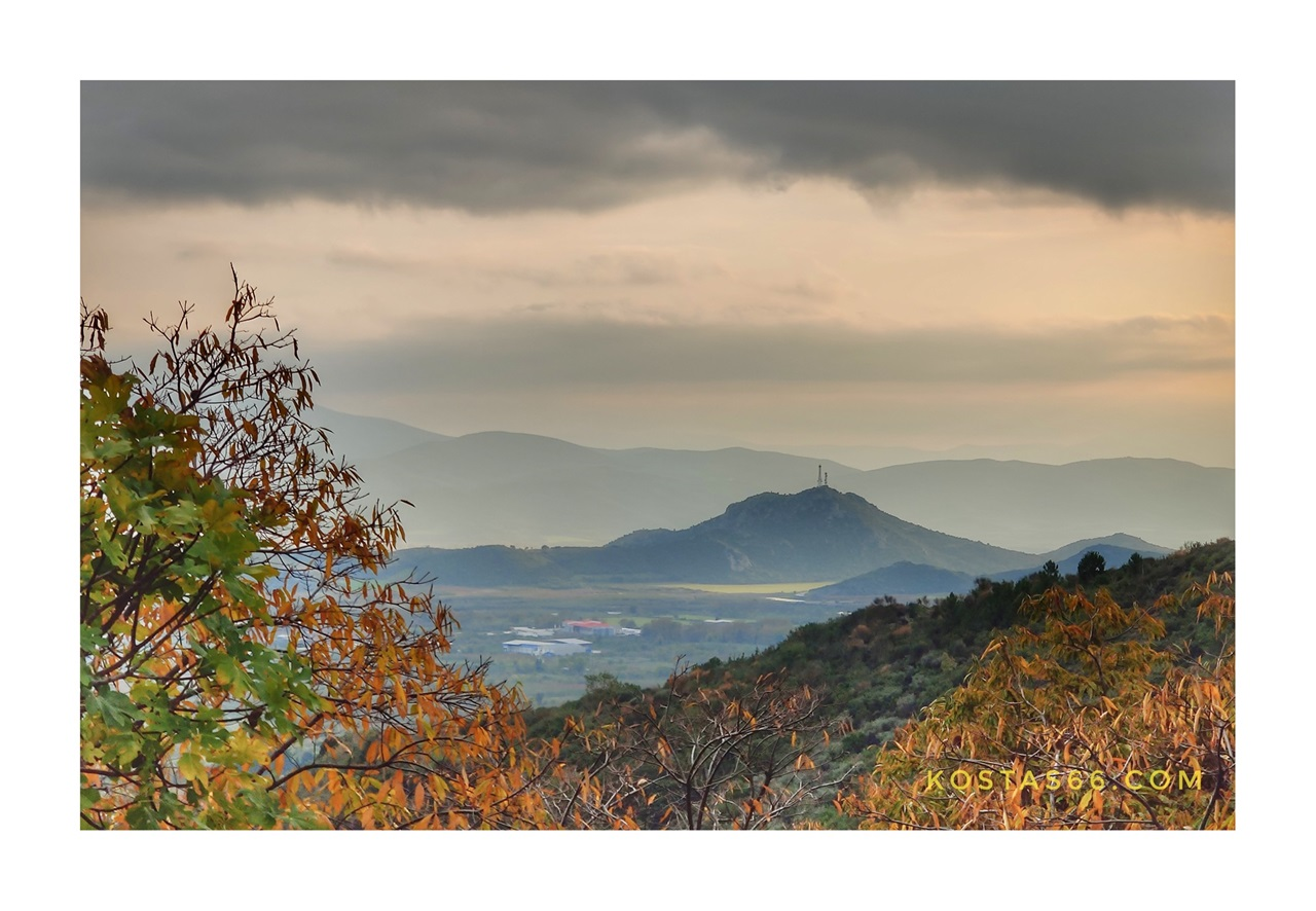
Mount Ossa, aka Kissavos, (Όρος Όσσα/Κίσσαβος) is located at eastern Thessaly (Θεσσαλία). It is separated on the north from Mount Olympus (Όρος Όλυμπος) by the Vale of Tempe (Κοιλάδα Τεμπών). To the west lies the largeest plain in Greece, and to the south the Dotion valley (Δώτιον Πεδίο). Rising from a broad, steep-sided plateau to a pyramidal peak of 1,978 m, the mountain is noted in mythology for the attempt of the Aloads, sons of the sea god Poseidon, to climb to heaven by placing Ossa on Olympus and the Mount Pelion on Ossa. The area has a long and rich history and on its slopes lie beautiful villages and thick forests. On the east the mountain is washed by the Aegean Sea.

Metaxochori, Agia.
I am very familiar with the area, as I was born and raised in Larisa, the biggest city of Thessaly. The last few years I “discovered” the beauties of a small village at the south foothills of Ossa. Metaxochori is a traditional settlement built among big plane trees and other deciduous trees, which in the autumn turn into a multicolor palette of red, yellow and golden colors.

Metaxochori, Agia.
Orientation & History
Metaxochori (Μεταξοχώρι), located very near the town of Agia (just 1.5 km), is known for the production of silk, as its name reveals (Metaxi=silk, Chorio=village). Metaxochori is built at the south slopes of Mount Ossa at an altitude of 300 m and has a population of about 600 inhabitants. The city of Larissa lies just 36 km to the west.

Ladies sitting outside the old convenience store.

The old convenience store in the center of Metaxochori.
The oldest recorded name of the village, Retsiani (Ρέτσιανη), is a Slavic appellation meaning “river village”. Slavic tribes have settled in the area since the middle Byzantine era, so many place names here had Slavic names, which of course changed later to Hellenized ones. During the ottoman era, the village keeps this name and only in 1923 is renamed to Melissi (=hive).
Just five years later, in 1928, the village changes name once more to its present one. Obviously, this name was given to the village due to its mainly industry of those days: sericulture.
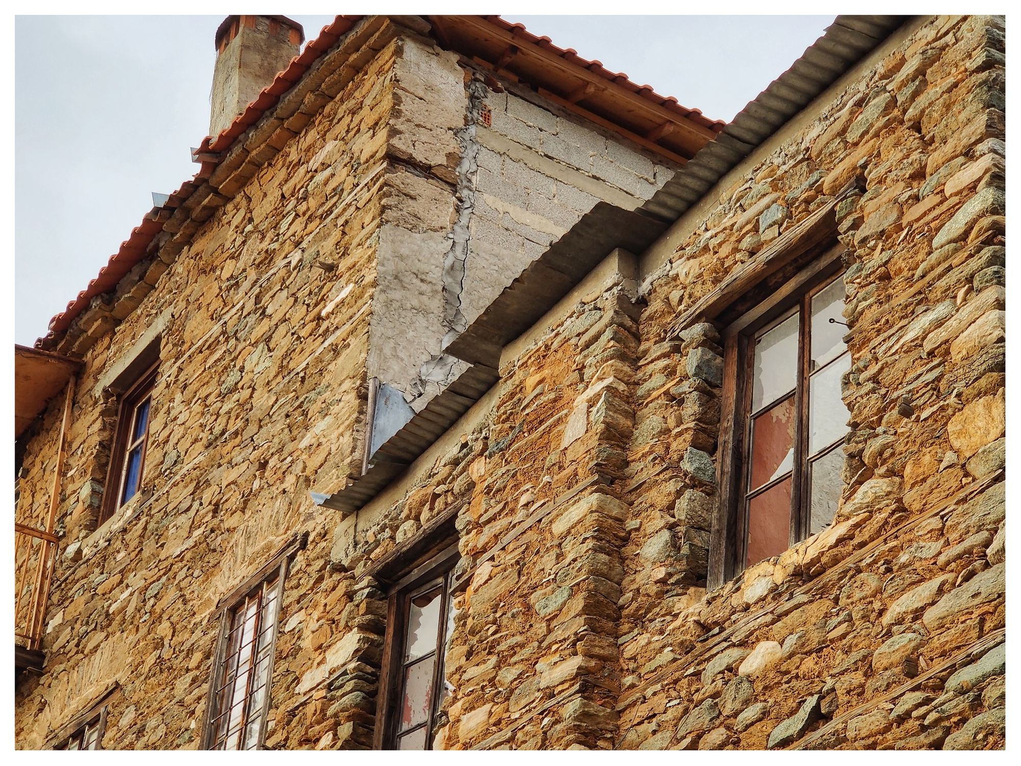
The mansions and rich houses of Metaxochori reveal the wealth of the village on account of the silk trade. The development of synthetic fabrics in the 60s resulted to the decline of the silk trade. The mulberries replaced by apple and cherry trees and silkworm rearing disappeared altogether.

Old houses next to the St Nikolas church.

An old house in Metaxochori.

Early 20th century house, near the main square.

The "Greek Sakura". under the blossomed apple trees.
In April, when apple trees are blossomed, the whole area turns “snow white” because of the abundance of them. The periods from April to June and from October to December is the best time to visit the area, when nature is at its best. In early June, the village celebrates the production of cherries. During the “Cherry Festival” people celebrate with folk music, dances, painting and photography exhibitions, demonstration of agricultural products and lots of good food.

Metaxochori
the Mansions

The Vatzia mansion built in 1871 and the big plane tree at the village square.
During my visits to Metaxochori, I stay in one of those restored mansions, the traditional inn (hotel) “To Archontiko tou Soulioti” (Αρχοντικό Σουλιώτη) built in 1850.
This beautiful little hotel belongs to the local architect Roulis Souliotis, who did an excellent job of restoring the old mansion to its former glory using only materials compatible with the style and era of the building. The rooms are tastefully decorated and the breakfast room has a lovely fireplace.
Today, Metaxochori is a very serene village, which managed to preserve its old charm and traditional architecture, which justifies the fact that it is one of the five traditional settlements of the prefecture of Larissa. Its impressive wood and stone mansions, built mainly in the second half of 19th century by skillful Epirot masters, have attracted many artists in the area. This is the reason the village unofficially is called the “village of the artists”.

 of the Souliotis hotel.")
The biggest and the most beautiful room (called Αρχονταρίκι) of the Souliotis hotel.

“To Archontiko tou Soulioti” built in 1850.
Οther notable mansions are the one of the writer Gianni Vatzia and his painter brother (Marios) built in 1871 just in front of the main village square, and the first School of Girls or Parthenagogeio. The house was Ierotheos Kakali's parents' residence, who was the Prior at the Monastery of Panagia in the village (1839-1859) and Bishop of Gardiki and Thavmako (since 1860). He donated the house to the community to become a Parthenagogeio.Today, it functions as a Cultural Center and hosts lectures and exhibitions.

“To Archontiko tou Soulioti” built in 1850.
The artistic creations of Epirus masons are also the houses of Daniloulis (1850), Karpetis (1890) and Karavatopoulos (1875). The Hatzemichalis mansion was built in the beginning of the 19th century.
.")
The former first School of Girls (front).

The backyard of the former first School of Girls.
At the entrance of the village, on the road from Agia to Metaxochori, stands the simple, but impressive, mansion of the Swiss Eugene Favre built in 1876. The luxurious and full of passion life of the Swiss diplomat and his French wife, Stefanie (aka 'madama' to the locals) still intrigue the people of the area.
Favre had initially founded a pasta factory in Afyssos (Mount Pilio) and a silk industry and later he dealt with silk processing in Metaxochori. The philhellenic action of the couple during the years 1977-79 was considerable.
Unfortunately, the Favre mansion has collapsed in its greatest part, abandoned and sealed to be protected from further damage.
.")
The Favre mansion (front).
the village Square

The village square is the center of the commune.
.")
The Favre mansion (back).
The village has the planning of the settlements of the area, which places the square in the middle of the village, from which spoke-like cobbled roads lead to the 'mahalades' (quarters). A stream flows next to the main square dividing the village into two. The stream flows into Amyros river, which flows into Lake Karla.

The main square of the village and the stream that flows next to it.

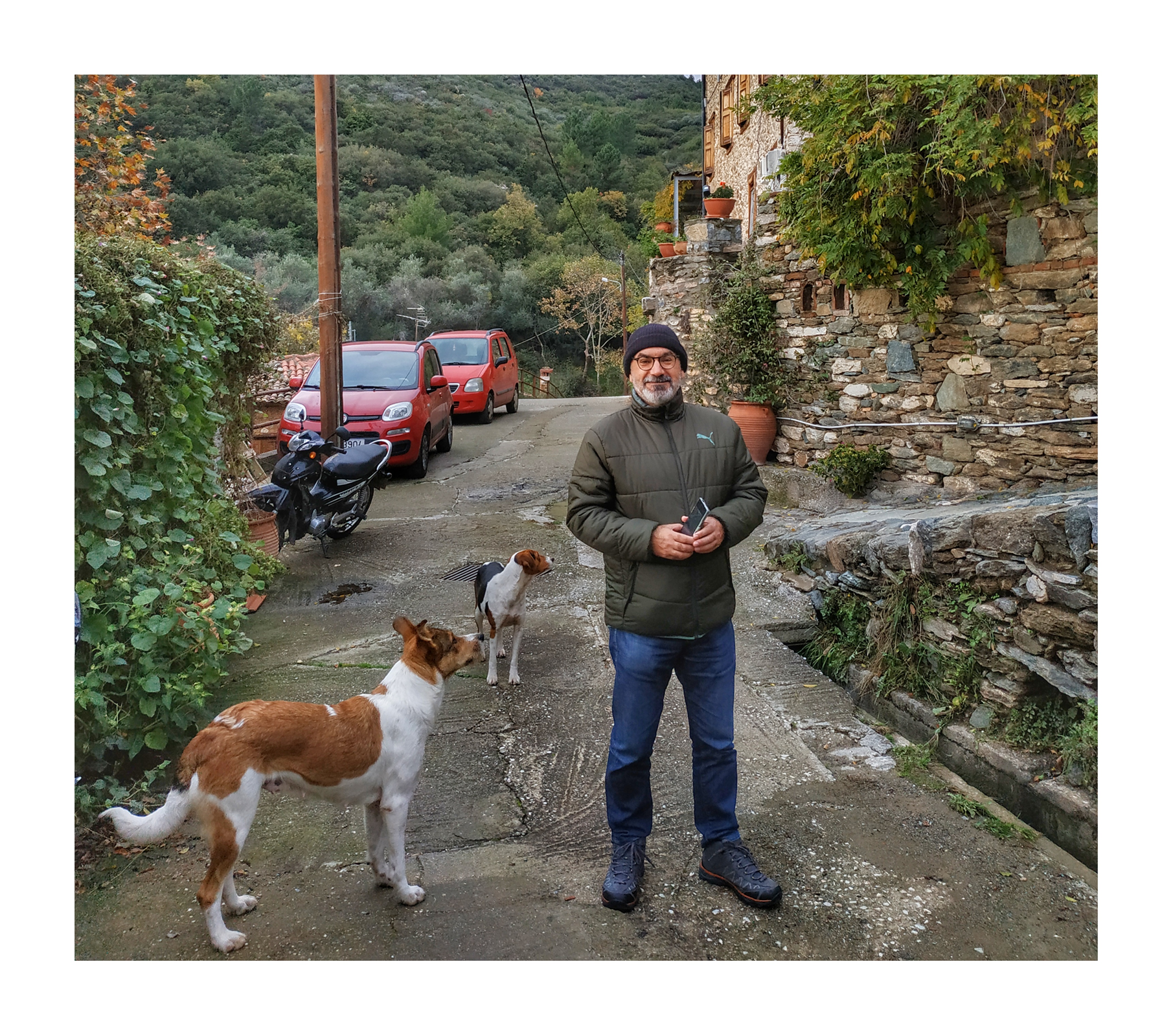
A little friend from the village.

The stream that divides the Metaxochori running through it.
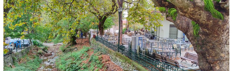
There is nothing more relaxing than sitting in the traditional café of the square, under the huge plane trees, listening to the purl of the stream. During the cold winter months, sit inside and watch the locals play cards, while you drink a hot "tsai tou vounou" with honey.
The square is the center of all activities. Come here for the Cherry Festival or the 15th of August celebrations to see by yourself, or in mid-December to celebrate the lighting up of the Christmas tree.

Sitting at the square cafe.

The cafe on the main square of Metaxochori in the summer.

The square of Metaxochori in December.

Afternoon coffee at the village square.


The "Gkavtzia" tree in Metaxochori.
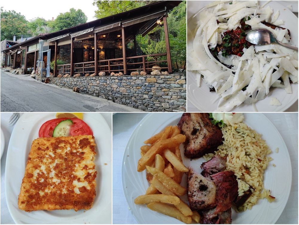
Besides the café, there was also a pizzeria on the square, but now it is closed, as the man who used to make the pizzas has been hired by the only other restaurant in the village. This restaurant is called Taverna Keramidi (Ταβέρνα Κεραμίδι) and is located some 200 meters uphill from the square. Keramidi stands at a very beautiful spot of the village, under big shady trees by the stream that crosses the village and opposite a noisy waterfall. I have had dinner there several times, but I do not recommend it, as the quality of the food is less than acceptable.
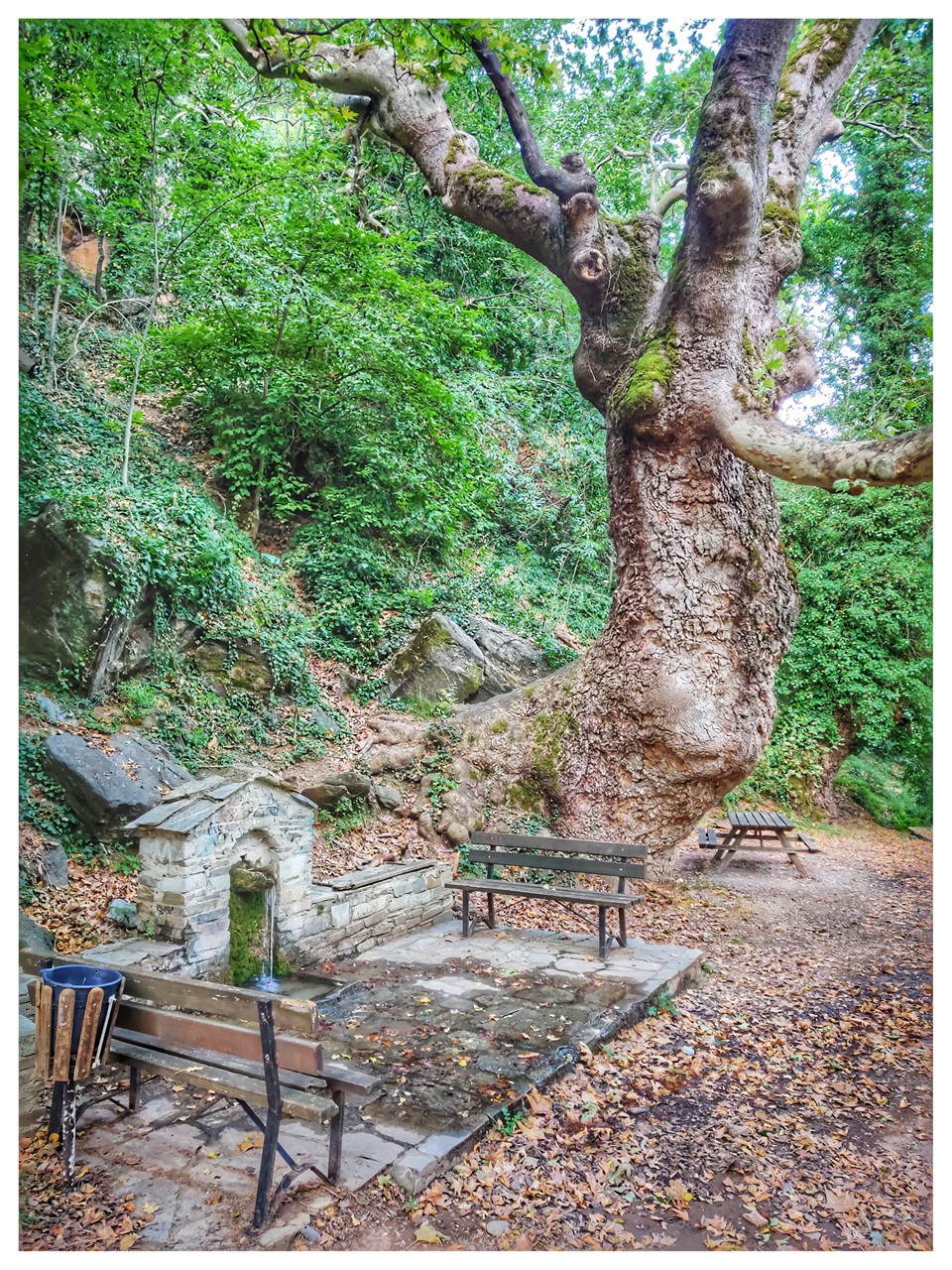
Close to the taverna, at the position called "Keramidi", one can see the rock where it is said that Kosmas of Aetolia (Κοσμάς ο Αιτωλός), the famous Greek scholar and church person, spoke to the residents in 1765 (according to a note in an ecclesiastical book of the village), and where a tree called “Gkavtzia” (γκαβτζιά) sprang up from the rock.
"Keramidi Tavern.

Nearby villages
This side of Mount Kissavos hosts some very beautiful villages.
Melivoia (Μελιβοία) is the largest village in the area and is located at an altitude of 400 meters, just 8 km northeast of Agia.
The village is famous as one of the biggest chestnut producers in Greece. In October, during the chestnut harvest, one will see dozens of trucks gathering the chestnuts in the warehouse of the village and from there to the central warehouses of Agia. The streets around the village are littered with fallen chestnuts, a magical image for chestnut lovers.
The village is built on a steep slope and has huge houses, a fact that shows its never-ending wealth.
The existence of a very modern Italian restaurant in the center of the village is a surprise for the visitor. The restaurant 'La Gantem' offers interesting Italian dishes in a wonderful place. In summer its large terrace offers a nice view of the village.

Melivoia chestnuts.
The older name of the village is Athanati (Αθανάτη =immortal in Greek). There are two versions why the village took this name. One states that it was named Immortal because its inhabitants believed that it would live for ever, since there is no visibility from the sea and it was not endangered by pirates. The other version, which is the prevalent, states that the village was named Immortal because an epidemic had broken out in the village (plague) and the inhabitants were dying one after the other, to the point that the whole settlement tended to disappear. Those who survived this great disease wanted to name the village Athanati, for the sake of euphemism, to exorcise evil. Once they survived such an epidemic, they said, they are now immortal.
In Melivoia according to Homer was the ancient kingdom of Philoctetes who took part with seven ships and three hundred and fifty men in the Trojan War. The archeological dig brought to light ruins, probably of ancient Melivoia, a little further from the current village, above today's port of Agiokampos.
A unique experience is the hiking on the Melivoia-Velika trail, which has been organized with recreational areas. Visitors pass by wooden bridges, stone fountains and the beautiful Sotiritsa waterfall.

La Gantem restaurant in Melivoia.
Less than 3 km away from Metaxochori stands the traditional settlement Megalovryso (Μεγαλόβρυσο), which boosts beautiful views, especially from the location “Karaouli” (καραούλι), just outside the village. On the main square there is a cafe/restaurant, where the visitor may enjoy his coffee or meal. The older name of the village is Nivoliani, meaning heavenly town in Slavic. Megalovryso is built on two hills at an altitude of 600 m.
The "Mesochori" («Μεσοχώρι») fountain adorns the village, while the "Megali Vrysi" («Μεγάλη Βρύση») spring, which supplies it with water and irrigates it, is located outside the village on the road to Anatoli village.

The village of Megalovryso.

The "Megali Vrysi" («Μεγάλη Βρύση») spring.
Shortly before the entrance of the village, on a plateau overlooking the plain of Agia, is built one of the most important Byzantine monasteries in the area, the Monastery of the Assumption of the Virgin. It is a relatively small monastery complex, without monks today, in which around a rectangular inner courtyard the various buildings are arranged next to each other. The refectory, the cells, warehouses and other ancillary buildings are in poor condition and are located on the north, west and a large part of the south side, while the recently preserved katholikon (church) occupies the rest of the south side and almost the entire east side.
 of the Monastery of the Assumption of the Virgin in Megalovryso.")
The church (katholikon) of the Monastery of the Assumption of the Virgin in Megalovryso.
The katholikon is a three-aisled church with a raised central aisle, which retains the 13th century brick masonry in the sanctuary. The roof of the temple is wooden and flat inside. The church has a wood-carved iconostasis. The church was renovated in the 16th century and is covered with frescoes of 1639.
At the exit from Megalovryso to the east, the main road branches out in two directions. One road goes towards Anatoli and the other towards Karitsa. There is a road post at the junction.
Following the road to Karitsa, after 2.5 km we meet the chapel of Agioi Anargyroi. The chapel is open to the public, but its interior is of no interest. What makes it special, though, is that it is located in a wonderful, thick oak forest. The road is of dirt, but in good condition.

The real gem of the area is the traditional village Anatoli (Ανατολή), 12km from Metaxochori. Anatoli is also known by its old slavic name Selitsani (=little village) and is the highest village on Mount Ossa (950m).
The Village is famous mainly because of the nearby 16th century "Holy Monastery of the Honorable Forerunner" (Ιερά Μονή Τιμίου Προδρόμου, Ανατολής).
But, the village itself is very beautiful and around the picturesque main square stands besides the church of Saint George, a couple of restaurants/cafe and a stone-built arched bridge. In the summer, the great plane tree in the middle of the square casts its heavy shadow and the visitors can enjoy there their "Greek coffee".

The main square of Anatoli village.


The taverna "Efthimia" on the main square of Anatoli village.

The stone-built arched bridge at Anatoli.
Inside the taverna "Efthimia" on the main square of Anatoli village.

Agios Panteleimonas chapel near Anatoli village.
The "Holy Monastery of the Honorable Forerunner" (Ιερά Μονή Τιμίου Προδρόμου, Ανατολής) is located 4km from the village of Anatoli at an altitude of 1080m. The monastery was founded in the 16th century by monk-martyr St. Damianos, abandoned in the mid-20th century and then re-established by a group of nuns in the year of 2000.
Today the monastery complex consists of the "Old Monastery", newer buildings (including a church dedicated to St Damianos), the St Damianos Hermitage, as well as the livestock operation and gardens. On the premises there is a shop that sells dairy and other products, produced in the monastery.

The monastery of the Honorable Forerunner near Anatoli village.
The monastery can be reached either from the main road of Larissa-Agiokampos or from the village of Anatoli. The sign posts from the village are not conveniently located and it is very easy to get lost in the village.
 of the Old Monastery beautifully restored.")
The katholikon (church) of the Old Monastery beautifully restored.

The old part of the Holy Monastery of the Honorable Forerunner.
Tourism & natural wealth

The beautiful frescos of the old katholikon at the Holy Monastery of the Honorable Forerunner.
 of Holy Monastery of the Honorable Forerunner.")
The new church (dedicated to St. Damianos) of Holy Monastery of the Honorable Forerunner.
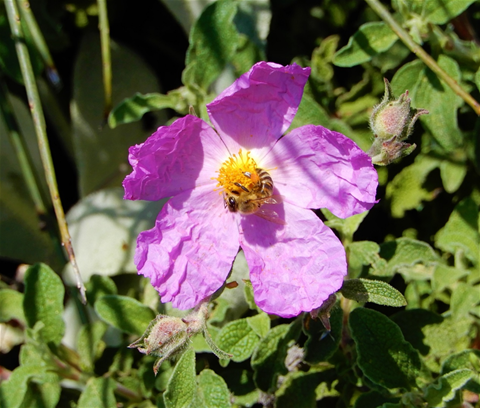
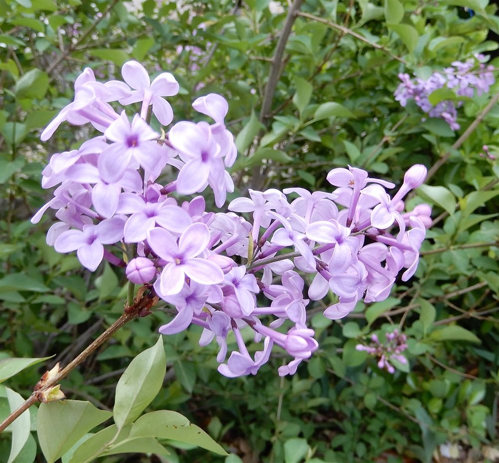
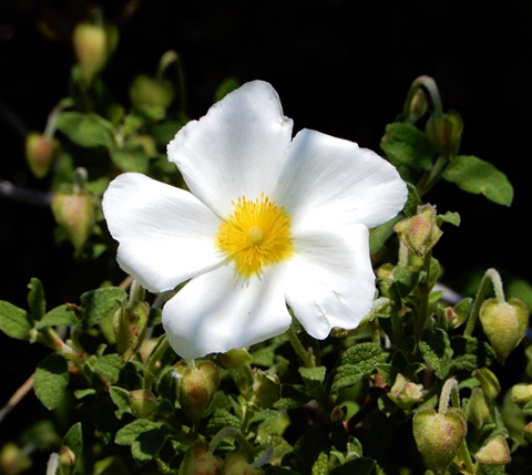
Besides agriculture, tourism is the other sector which contributes to the sustainability of the area. The area’s long coastal line provides clean seas and its beautiful sandy beaches attract thousands of tourists. But the real asset of the area is ecotourism and the alternative forms of tourism which promote the love and respect of nature.
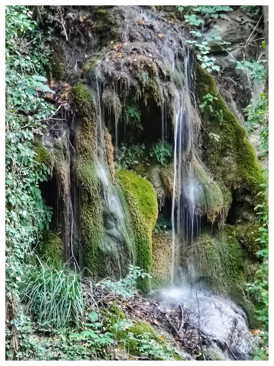
The natural wealth of Agia region is great. Forests with dense vegetation, springs, lakes, streams, waterfalls ... they all provide shelter for many species of plants and animals.
The area provides the means for activities like hiking, mountaineering, climbing, birdwatching, canyoning, rafting and canoeing. The area and especially Kissavos is endowed with high peaks, rich natural environment and beautiful villages making it enticing for hikers, climbers and all visitors.
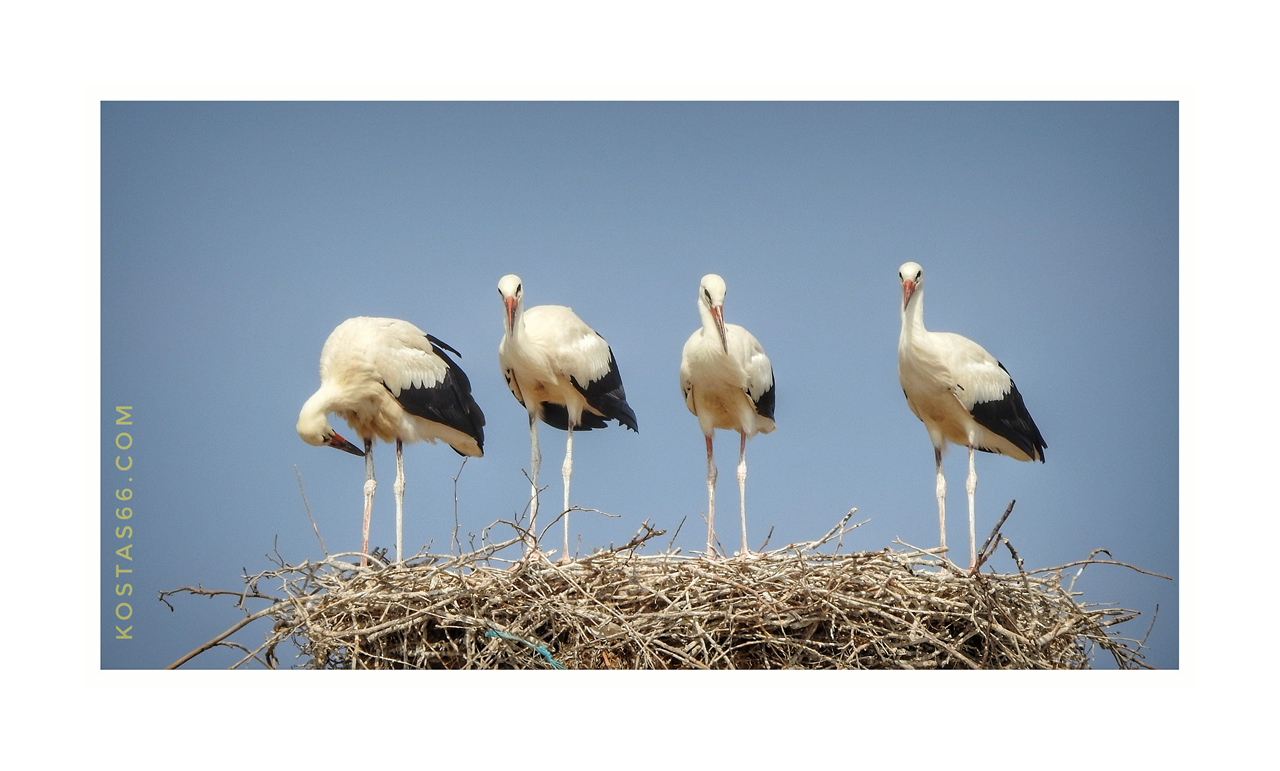
A stork family.
Storks abound in the area during winter/spring. Storks are migratory birds and spend their winters in the plains of north and central Greece. They raise their chicks here. When the chicks are grown and they feel strong enough to fly, they all migrate again to the north of Europe to spend the summer months. Storks build their nests on the top of electricity poles or the top of the churches’ domes.

Trails
The most known trail in the area is the one that connects Agia to Megalovriso village: a coble stone trail that passes through post-Byzantine monuments.
Another well designed and signed trail is the one between Melivoia and Velika, which crosses wooden bridges and thick forests, passes near the waterfall of Sotiritsa and ends at the sandy beach of Velika.
The area is also crossed by the national trail O2 that connects Olympus mountain with Pelion mountain, two of the most legendary and celebrated mountains in Greece.
One of the easiest and most impressive trails is the one that goes to the highest peak of Mount Ossa (the Prophet Elias peak) at 1978 m altitude. The upper part of the mountain has a perfect conical shape, which suggests its history as an inactive volcano.
The best way to reach the top, is to start by car from the town of Sykourio and then, through the beautiful mountain village of Spilia, to reach the mountain refuge (1600m). From there an easy path leads to the top.
The route is eerie, as there are no trees arount. At the top one can visit the cave chapel of Prophet Elias. A flashlight is essential to enter the chapel as it is completely dark inside.
Mount Ossa.


At the mountain shelter near the highest peak of Mount Ossa.
Churches and monasteries in Metaxochori.

Frescos inside the one of the two smaller domes of the church of Saint Panteleimon Monastery.
Religious tourism, is developed in the area, as there are numerous churches and monasteries whose origin goes back to the Byzantine era.
Unfortunately most of the time the churches are locked, so the visitor cannot admire their interior. This is because of the precious heirlooms and ecclesiastical treasures kept in them, that have to be protected.
During my several visits in the area, I managed to enter only into the church of Saint Paraskevi in the Village, the Monastery of Saint Panteleimon and the church of Saints Anargiri.

Map of the 6 Metaxochori churches. The "Archontiko Soulioti" inn, the "Keramidi tavern" and the pizzeria (closed permanently) are also noted on the map.
Within the village limits there are six churches:
👍 The 17th century hilltop church dedicated to Prophet Ilias (Προφήτης Ηλίας), a large three-aisled basilica with a two-aisled narthex (1835-1875), built on the site of a 17th-century temple, from which it retains the wood-carved iconostasis of 1641.
Its frescos were painted by the renowned painter Nikolaos from Linotopi, Kastoria.
In front of the narthex there is a small "portico" all covered with frescos. This is a pleasant surprise to the visitor, as the chances of him entering the church to see the frescoes inside are extremely small.
The views from the yard of the church of the valley bellow (Dotion valley) are beautiful, especially during the sunset.
The big plane tree outside the church casts its thick shadow to the tired visitor.

View of Dotion Valley from the church of Prophet Ilias.

The church dedicated to Prophet Ilias in Metaxochori.
.")
The church dedicated to Prophet Ilias (the way in).

The church dedicated to Prophet Ilias.

The little "portico" in front of the narthex of Prophites Ilias church.

Frescoes at the little "portico" in front of the narthex of Prophites Ilias church.
👍 The Post-Byzantine church of Saint George (Άγιος Γεωργιος), which belonged to a 17th century monastery. The church, which is a three-aisled wooden-roofed basilica with a porch, was built in 1831 on the site of an older one of which retains the wood-carved iconostasis dated back in 1663. The hagiography of the temple was made in 1845 and in 1852 that of the narthex. The 1896 bell tower is preserved to the southeast of the temple. A chapel of Saint Pantes (Άγιοι Πάντες) is located just north of the church.

The sun painted at the little "portico" of Prophet Ilias.

The church of Saint George in Metaxochori.

The church of Saint George in Metaxochori.


Saint George painted over the main entrance to the church of Saint George.
Me sitting at the portico of Saint George church.
👍 The church of Saint Paraskevi (Αγία Παρασκευή), in the very center of the village, is a three-aisled basilica with wooden prostyle (pillars) on the west and south sides. The wood-carved iconostasis is superb, with delicate art compositions depicted in great detail. The frescoes were painted by the workshop of the painter Zikos Michael from 1843 to 1852.

The parish church of Saint Paraskevi is a three-aisled basilica with a tower-shaped bell tower of the 17th century, a marvelous wood-carved iconostasis and frescoes painted in 1843-1852.
👍 The church of Saint Nicholas (Άγιος Νικόλαος) was built in 1900 on the site of an older temple of 1641. It is a cross-domed temple. The imposing dome of Saint Nicholas is visible from almost all of the village and is a landmark. The shape of the dome impresses with the particularity of being covered with lead. Inside the church is a remarkable collection of post-Byzantine icons of the 17th and 18th centuries (which the visitor cannot see, as the church is always closed). In the courtyard of the church is a section (the narthex) of the old church, which contains frescoes with large representations of the Second Coming of the Jesus of 1646.

The church of Saint Nicholas in Metaxochori.
👍 The 18th-century church of Presentation of the Blessed Virgin Mary (Εισόδια της Θεοτόκου ή Παναγία) boasting paintings by the monk Constantine Selitsaniotis, who built it in the late 18th century. The church and some of the walls are what left of a glorious monastery (Monastery of Panagia-Μοναστήρι Παναγίας) located behind the Favre mansion. The church is a three-aisled basilica with an elevated gyneconite. Constantis and Demetrius created the wood-carved iconostasis of 1794 from Megalovryso. The cells of the monastery were also used for silkworm rearing.

The two entrances to the church of the Presentation of the Blessed Virgin Mary. The left entrance is the main one, and the right leads to the gyneconite.

The entrance to the walled Monastery of Panagia.

Frescos above the entrance to the gyneconite of the church of Presentation of the Blessed Virgin Mary.

Frescos in the church of the Presentation of the Blessed Virgin Mary.

Frescos in the church of the Presentation of the Blessed Virgin Mary.

The wooden curtain that separates the narthex from the gyneconite of the church of the Presentation of the Blessed Virgin Mary.

Beautiful frescos in the katholikon of Presentation of the Blessed Virgin Mary.
 of the Presentation of the Blessed Virgin Mary.")
The wooden ceiling of the katholikon (church) of the Presentation of the Blessed Virgin Mary.

The fortification of the Monastery of Panagia, where the church of Presentation of the Blessed Virgin Mary is located.
👍 The little church of Saint Efstathios (Άγιος Ευστάθιος), which once belonged to a monastery, has great views.
A visit to the latter is a must because you'll have the opportunity to admire the 18th century, eight-arched aqueduct, which used to carry water from the Papalvizis spring (Papas Alevizos) for the needs of the workshops dyeing cotton yarns in Metaxochori, and probably for the needs of the Monastery.

The Monastery of Saint Efstathios.
This part of the country (north-eastern Thessaly) has a long history spanning from the prehistoric times to the classic antiquity, the byzantine and ottoman eras.
In the region have been found tombstones from the Roman and Hellenistic period, roman baths and classic temples, byzantine monasteries churches and an aqueduct.
The 18th century, eight-arched aqueduct near St Eftsathios monastery.


The 18th century, eight-arched aqueduct near St Eftsathios monastery.
Nearby Monasteries
At proximity to Metaxochori, there are several monasteries worth visiting if there is some extra time to devote. I have visited two: a) The Monastery of Saint Anargyri, and b) the Monastery of Saint Panteleimon.

Map of nearby to Agia Monasteries.
The Monastery of Saint Anargyri
The Monastery of Saint Anargyri (Άγιοι Ανάργυροι), located about 3 km from Agia on the road to the coast, was built around 1588 AD. Today only the renovated church (a one-aisled wooden-roofed basilica) and a two-storied fortification tower exist of the once glorious monastery.
Not much of the church’s elaborated frescoes (dated back to the 17th century) survive. Today, new paintings elaborate on the nave, while in the sanctuary, one can see just some of the old frescoes.

The church of the Monastery of Saint Anargyri.
The monastery is situated among large plane trees and next to a stream. On the other side of the stream, on the high cliffs, ascetics are carved into the rock: three consecutive halls with frescoes from the 12th to the 16th century. Alas, the ascetics looked neglected and vandalized.

The stairs behind the church of Saint Anargyri, which lead to the stream.

The fortification tower next to the church of Saint Anargyri is the only part of the fortification system of the old monastery that used to be here once.

Some of the 17th-century frescoes have survived in Saint Anargyri church's sanctuary.
A contemporary fresco in the naive of Saint Anargyri church depicting Saint Anargyri (left). Some of the lavish 17th-century frescoes (top right) are inside the church's sanctuary. The front (middle right) and the back (bottom right) sides of the church.
. Inside the sanctuary of the church survive some of the lavish 17th century frescoes (top right). The front (middle right) and the back (bottom right) side of the church.")
The ascetics on the cliffs above the church of Saint Anargyri.

The stream next to the church of Saint Anargyri (left). The dome fresco in the ascetics.
. The dome fresco in the ascetics.")
Alamanos stone bridge

The Alamanos stone Bridge.
Monastery of Saint Panteleimon

The Monastery of Saint Panteleimon.
The church is a cross-shaped building with three domes, the central one and two smaller ones. The most important element is the two-story tower of the entrance, with a chapel on the first floor. The monastery was abandoned for long, till the 1980s when a feminine monastic community established there and rebuilt the ruined western wing. But it was abandoned again till 2005, when a new brotherhood moved in. In 2013 started an extensive restoration program to bring the monastery into its former glory. The results are already astonishing.
Not far away from the Monastery of Saint Anargyri, built over the same stream (Megalo Rema or 'potamia') that passes by the monastery, stands the Alamanos stone bridge (Γεφύρι Αλαμάνου).
The bridge is located on the Agias-Sklithrou road, and it is very easy to spot it as it is very close to the road. It is a 17 meter single arched bridge, built in 1858 with expenses by the famous doctor Dimitrios Alamanos.
The Monastery of Saint Panteleimon (Ιερά Μονή Αγίου Παντελεήμονα Αγιάς) is located 3 km outside of Agia, on the way to Melivoia. It was built in 1292 and it consists of the Catholic, which is dedicated to the Virgin Mary, the Tower of the Abbot, the monk cells and the fortification.

The church of the Monastery of Saint Panteleimon.
The lintel fresco of the church entrance. Monastery of Saint Panteleimon.


A stork at the shores of Lake Karla.
Today, the so far restored lake, is a wonderful wetland, which according to the Hellenic Ornithological Society, hosts over 200 different kind of birds: endangered pelicans, herons, cormorants, flamingos, gulls, coots, mallard ducks and many more. This is a birdwatcher’s paradise during the winter months. During summer most of the birds travel further north to cooler climates.

A heron at the shores of Lake Karla.

Lake Karla: a birdwatcher’s paradise.

Pelicans and a cormorant at the shores of Lake Karla.
Lake Karla
Lake Karla (Λιμνη Κάρλα), the only lake in the plain of Thessaly, is located only 25 km south of Metaxochori, on the Agia-Volos national road.
Lake Karla was a 180 km2 lake completely drained in 1962 to gain agricultural land. Before its drainage, it was the site of a unique fishermen's culture, with the fishermen spending some nine months of the year in reed huts that they built on the lake. The lake fisheries were an important tradition and, to some extent, a significant economic activity.

A pelican in Lake Karla.


Yes, I look so handsome!!!

A cormorant at the shores of Lake Karla.

Pelicans and a cormorant at the shores of Lake Karla.
The drainage of the lake proved to be wrong, as agriculture was never successful in the saline soils of the former lake bed. Thus, the local population supported an ambitious project to restore the lake. The restoration will reflood eventually only 50 of the original 180 km2 of the former lake. The project started in 2010 and it is one of the most ambitious wetland restoration projects worldwide.
The Pineios Delta
If you have a day, or just an afternoon, to spare visit the Pineios River Delta nearby.
